
WHAT WE DELIVER
We turn satellite and Earth data into decision-grade intelligence about the places, assets, and events that matter to you. Our AI-powered system works for any site, area, or asset on the ground. It measures conditions, tracks change over time, and reports what the data shows and where it falls short.
Get it as a dashboard, a notification, a report, or an API.
THREE THINGS WE DO, FOR ANY SITE
Assess
A decision-grade read on any site or area: its condition, its terrain, its history, and its risks. Use it to choose a site, screen many at once, or run due diligence before you commit.
Monitor
Continual analysis of a place, an asset, a node in a supply chain or a piece of infrastructure. Track what changed: what moved, what appeared, what degraded.
Respond
Rapid before-and-after analysis after a storm, flood, fire, or other event: which sites were affected, and how badly.
BUILT TO SCALE
Making Earth intelligence scalable is central to our mission. Our technology scales over time and space with marginal overhead; traditional methods cannot.
Automated by design
Our state-of-the-art AI system is built around repeatable, automated workflows.
Scale over time and space
Robust automation lets us apply the same workflows to different time windows and to new regions.
Economies of scale
Our approach unlocks economies of scale, and with them use cases that were not economically sensible before.
WE GIVE YOU NEW CLARITY
Decision-grade intelligence, no added complexity.
We convert satellite and Earth data into AI-driven decision-grade analysis, continuously, for any site on Earth.
You get a clear, frequent read across your sites, and what to address first.
No hardware installation or site visit is required, and custom projects are quoted by scope. The service scales from a single site to operations of any size.
WHY CHOOSE US ?
You're deciding without independent evidence
Damage estimates and self-reported figures often go unchallenged. We provide independent sensor data to inform the decision. Not a verdict, but a second read.
Risk builds up before it's visible on the ground
Subsidence, encroachment, and structural change often go undetected until they're costly. We help you spot the signal early.
Site visits and manual review take weeks
We turn a triggering event into sensor-based evidence in moments. Streamline your monitoring, get the lay of the land first, make decisions without waiting for slow analyses.
WHO WE SERVE
We work with any operation tied to physical sites on the ground: owners, operators, developers, and investors who need to know what's happening across their sites.
Assets, supply chains, infrastructure; we are not limited to any one industry. Organisations with monitoring requirements are invited to get in touch.
Contact Us
Have a question or want to work together? Let's talk.
Address
Stationsplein 45 A4.0043013 AK Rotterdam
Message Sent!
Thank you for reaching out. You'll hear back soon!
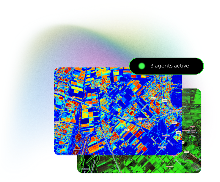
Contains modified Copernicus Sentinel data (2026).